The Studio. Arizona Drone Photography and Aerial Services
A small, FAA-licensed aerial studio based in Flagstaff, Arizona, building cinematic photo and video work for brands, builders, and producers across the Greater Southwest.
Named for the Pines.
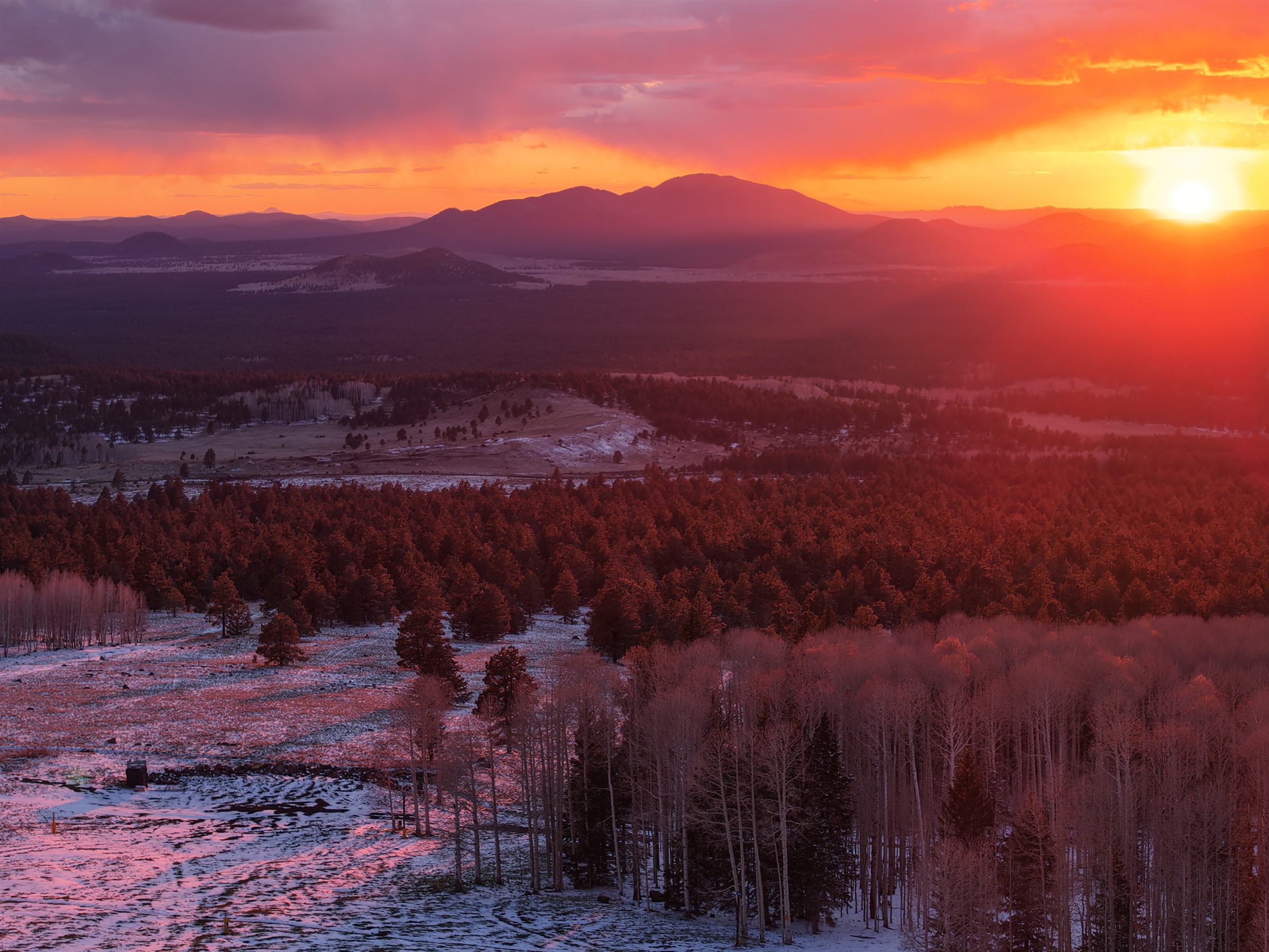
Ponderosa Pixels takes its name from the ponderosa pine forests that ring Flagstaff at seven thousand feet, a landscape that rewards patience, planning, and a steady eye. The trees are tall, the light is clean, and the weather changes by the hour. It's where the studio learned to fly.
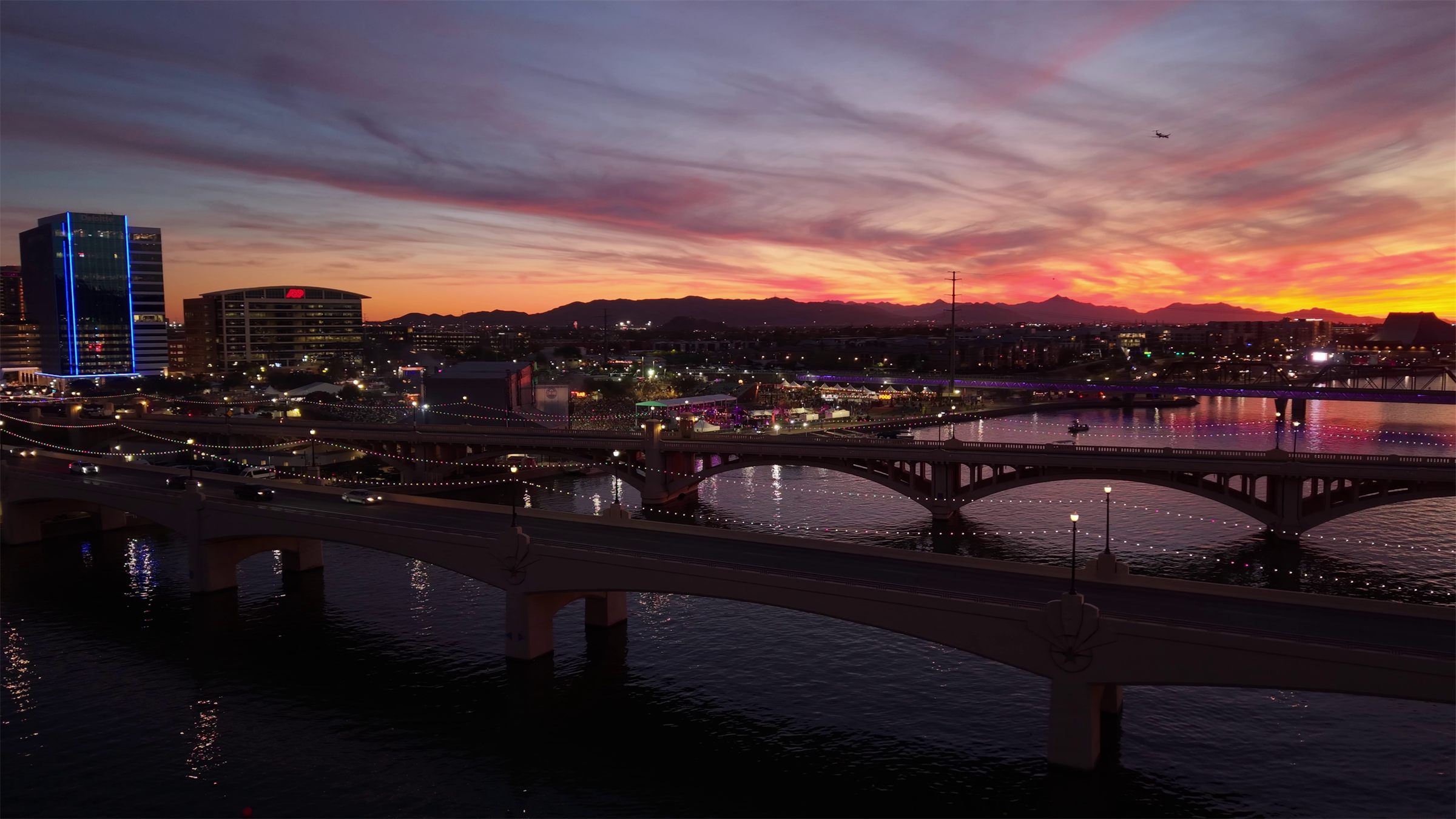
The work moves across all of Northern Arizona, from the volcanic country east of town to the red rocks of Sedona, and travels for the right projects. But the discipline came from here, and it shapes every flight.
Licensed. Methodical. Accountable.
Every commercial flight Ponderosa Pixels operates is conducted under FAA Part 107, the federal certification required to fly drones for paying work in U.S. airspace. That means proper airspace clearance (LAANC where applicable), pre-flight risk assessment, mission planning, and accountable record-keeping.
It's the same discipline a camera assistant brings to a clapboard or a survey crew brings to a transit. It's the part the audience doesn't see, and it's what keeps the work safe, repeatable, and on budget.

A Boutique Studio. Hands-On at Every Step.
From the first scouting call through the final delivery, every project at Ponderosa Pixels passes through the same hands. No farmed-out editing, no rotating crew of pilots, no third-party contractors.
It's a smaller team than some clients are used to. The trade-off is that nothing gets lost in translation, decisions get made fast, and the work that leaves the studio is the work the studio is proud of.